

Metrology
OVERVIEW
Micron-Level Accuracy. Zero Compromise.
Industrial metrology leaves no room for approximation. Whether you are verifying a machined component against a CAD master, calibrating a production fixture, inspecting a fabricated assembly, or reverse engineering a legacy part with no surviving drawings, the measurement has to be right.
VB Terrascan deploys FARO Arms, laser trackers, and handheld scanners to achieve volumetric accuracies as precise as 23 micrometres. All measurements are fully ISO 10360 compliant and traceable to national standards. Scan data is compared against CAD master models in real time, with out-of-tolerance conditions flagged as they appear. Every result is repeatable and audit-ready.
OVERVIEW
How We Deliver Metrology Excellence
Precision Measurement & 3D Scanning
FARO Arms and laser trackers deliver volumetric accuracies as precise as 23 micrometres. All measurements are ISO 10360 compliant and fully traceable, covering part inspection, fixture verification, and machine calibration.
As-Built Documentation & QC Deliverables
Dimensional inspection reports, GD&T analysis outputs, and first-article inspection documentation are produced ready for customer submission, regulatory audit, and quality records.
CAD Comparison & Deviation Analysis
Live scan data is compared against CAD master models in real time. Out-of-tolerance conditions are flagged as they appear, and colour deviation maps are generated for every component.
Reverse Engineering Support
FARO handheld and structured-light scanners capture legacy components and worn tooling. The resulting CAD models are accurate enough for reproduction, redesign, and obsolescence management.
Singapore Towers
Landmark Documentation
- Scanner Leased
- Scan-to-BIM
- Digital Twin
TECHNOLOGY
Technology That Powers Precision
FaroArm & Laser Tracker Measurement
CAD Comparison & Deviation Analysis
Structured Light & Handheld Scanning
CAM2 Metrology Software
ISO 10360-Compliant Reporting

Gallery


Sectors at a Glance
Sectors We Serve

Airport digital twins consolidate airside, terminal and landside data into a live operational model. Crowd simulation, gate utilisation and infrastructure compliance checks run continuously against the as-built point cloud baseline.

FARO 3D scanning delivers millimetre-accurate as-built documentation of commercial towers, mixed-use developments, and retail complexes. AI-processed point clouds feed directly into CIM-ready BIM models for lease management, fit-out coordination, and asset handover.
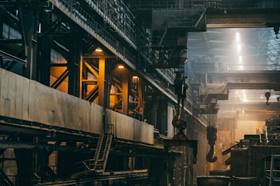
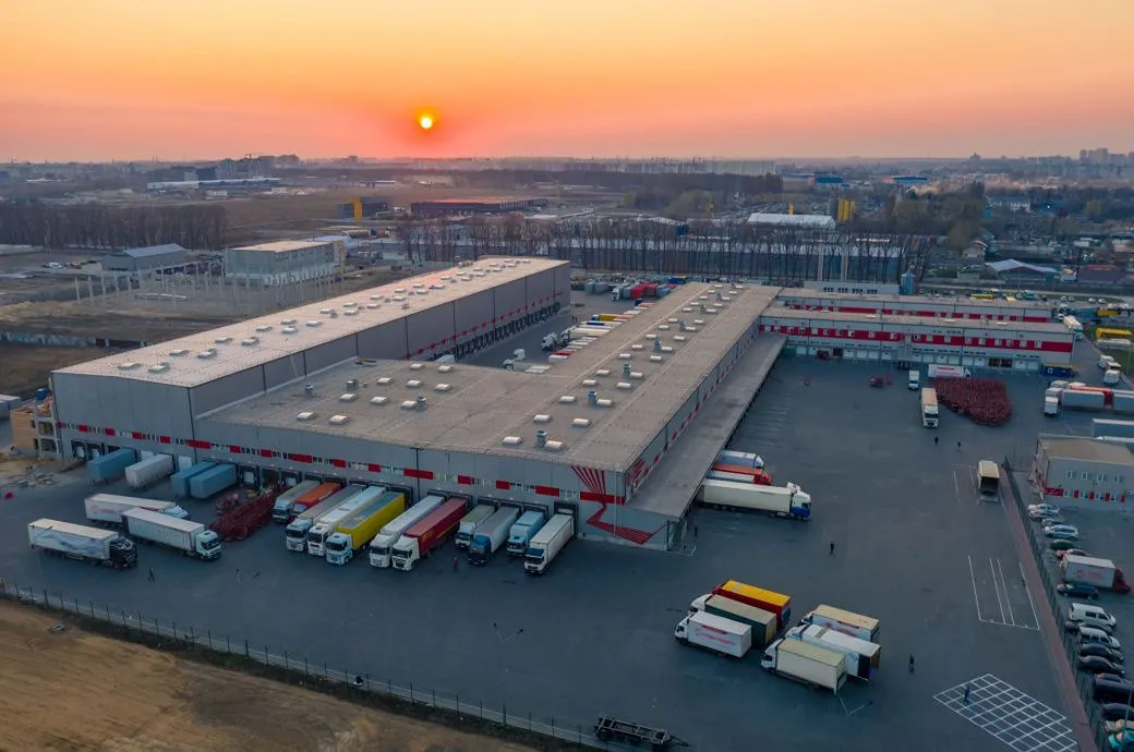
Industrial parks feature modular zoning, high-bay warehouses and heavy load infrastructure. Digital twin deployment enables real-time asset monitoring, predictive maintenance scheduling and 360° facility walkthroughs without site visits.
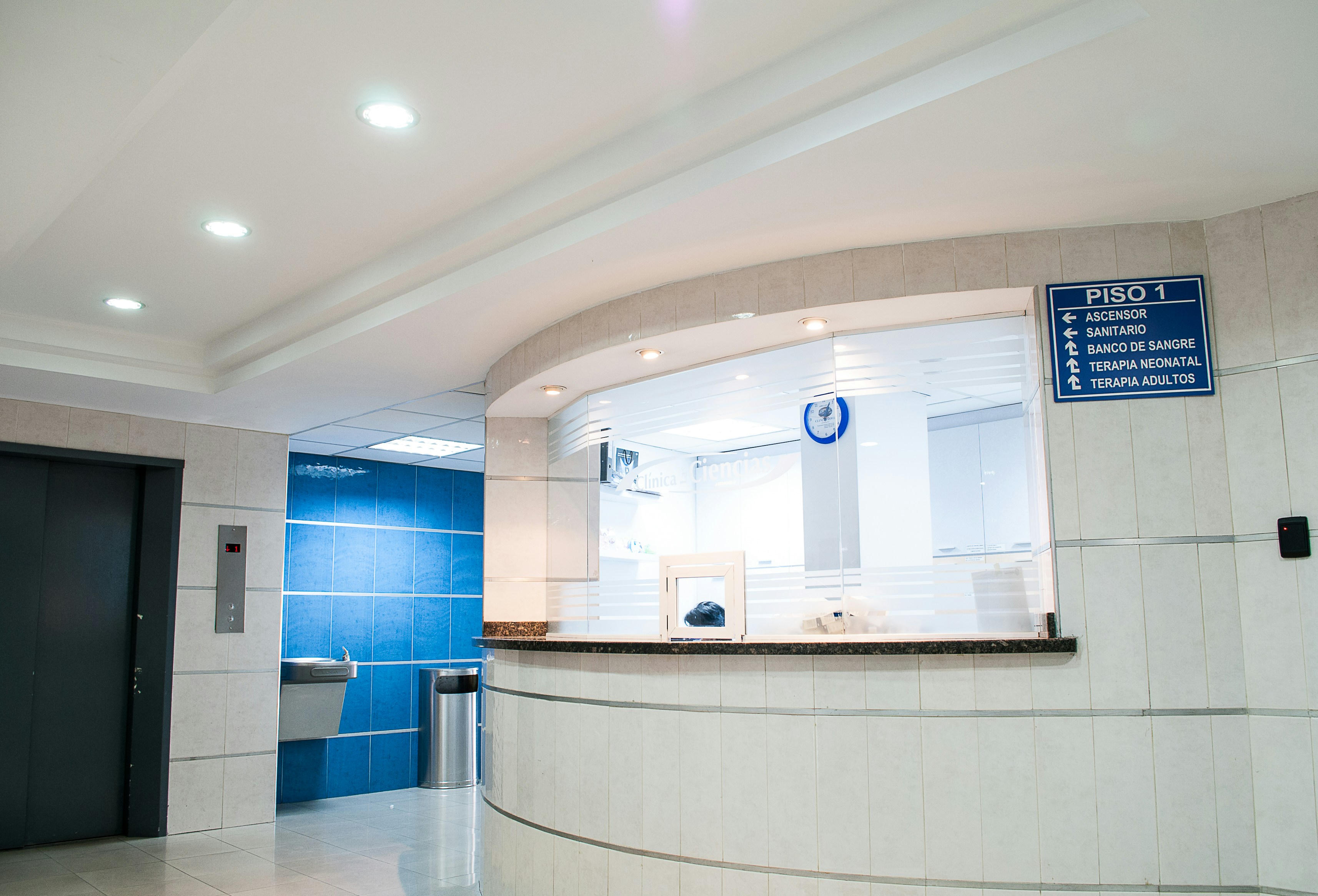
Healthcare facilities demand as-built documentation accuracy beyond standard construction tolerances. FARO scanners capture ward layouts, operating theatres, MEP systems and cleanroom envelopes with millimetre-level accuracy, supporting HTM/NABH-compliant asset management and regulatory compliance.

Bridges, flyovers, dams, rail corridors and port facilities don’t leave much room for error. These are live assets, often under load and the survey data needs to match that reality. Manual methods are too slow, too exposed and not precise enough for environments where you can’t shut things down and wait.
SLAM-enabled terrestrial scanners navigate confined spaces while capturing 2 million points per second. AI-segmented point clouds auto-generate piping, HVAC, and structural Revit models with sub-2mm deviation.

Water infrastructure, including treatment plants, effluent plants, distribution networks, pumping stations, reservoirs, and underground pipelines, underpins urban and industrial life. Ageing assets, expansion programmes, and regulatory demands all require documentation that stays current and accurate across every kilometre of network.

