

- ADVANCED SCANNING SOLUTIONS
- PCD OUTPUT
3D Laser Scanning
Services
From real world capture to accurate digital assets
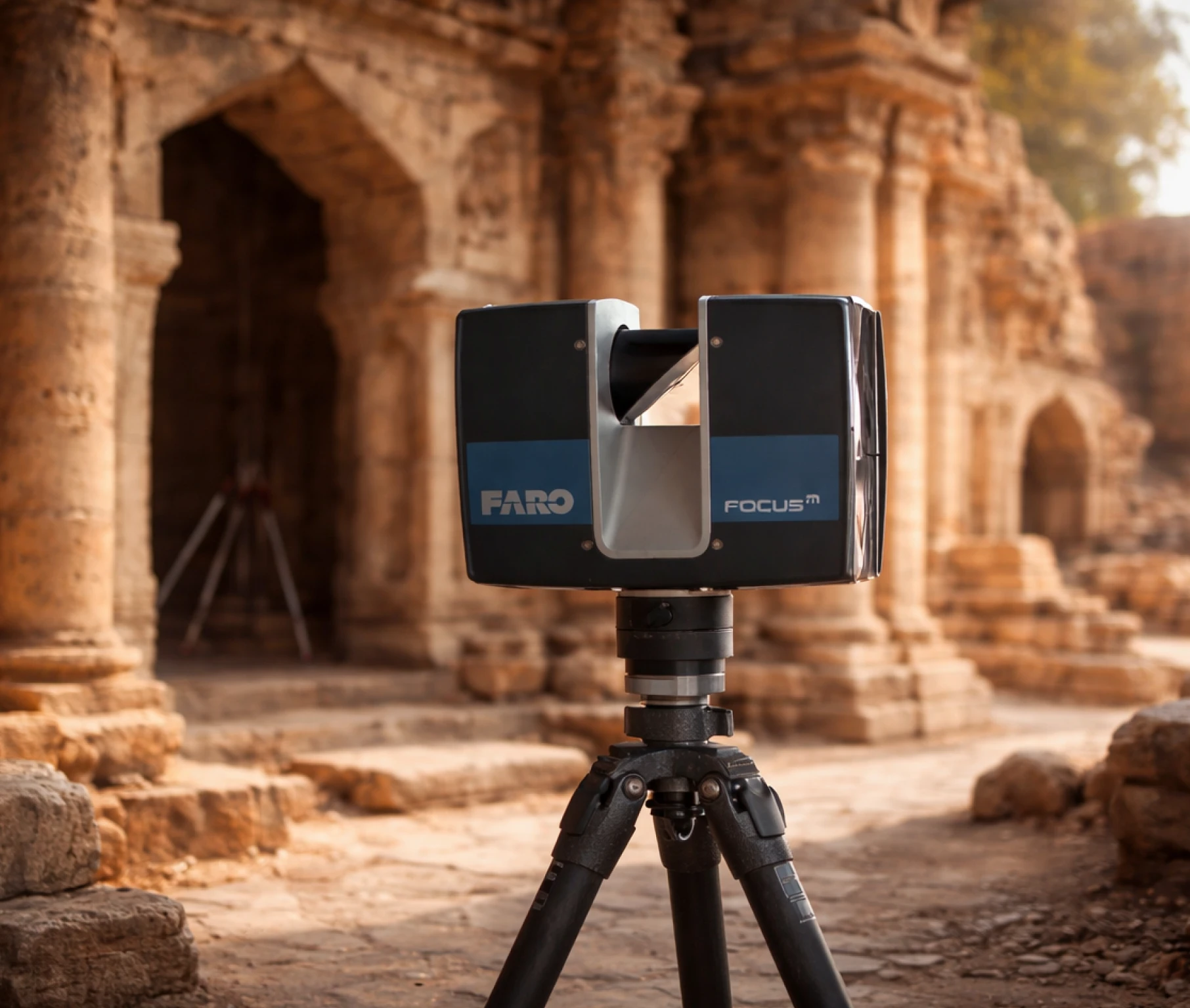
We deliver high precision 3D laser scanning using LiDAR, SLAM, drone mapping, and GPR technologies. Our workflows capture detailed as-built data for complex environments including infrastructure, industrial assets, and large scale developments delivered as Point Cloud Data (PCD) ready for BIM, CAD, and digital twin workflows.

Our Core Strengths
We combine advanced scanning technologies with deep domain expertise to deliver reliable and scalable data capture solutions.
- High accuracy 3D laser scanning with precision up to 1 mm
- Long range data capture from 100 to 400 meters
- High speed acquisition up to 2 million points per second
- Integrated technologies including LiDAR, SLAM, drone mapping and GPR
- Ideal for large and complex assets such as ports, airports and power plants
Our Services
Terrestrial Laser Scanning
High precision ground based scanning for buildings, plants and
infrastructure
- Point cloud data
- Registered scan datasets
- Site documentation
Mobile and SLAM Scanning
Fast and efficient scanning for large and complex environments
- Processed point cloud
- Walkthrough datasets
- Rapid site capture outputs
Drone LiDAR and Photogrammetry
Aerial scanning for large scale mapping and terrain modeling
- Orthomosaic maps
- Digital surface models
- Geo referenced datasets
GPR Scanning
Subsurface scanning for utilities and underground infrastructure
- Utility mapping data
- Subsurface reports
- Detection analysis
Sectors at a Glance
Sectors We Serve

Airport digital twins consolidate airside, terminal and landside data into a live operational model. Crowd simulation, gate utilisation and infrastructure compliance checks run continuously against the as-built point cloud baseline.

FARO 3D scanning delivers millimetre-accurate as-built documentation of commercial towers, mixed-use developments, and retail complexes. AI-processed point clouds feed directly into CIM-ready BIM models for lease management, fit-out coordination, and asset handover.
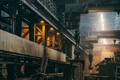
Industrial parks feature modular zoning, high-bay warehouses and heavy load infrastructure. Digital twin deployment enables real-time asset monitoring, predictive maintenance scheduling and 360° facility walkthroughs without site visits.
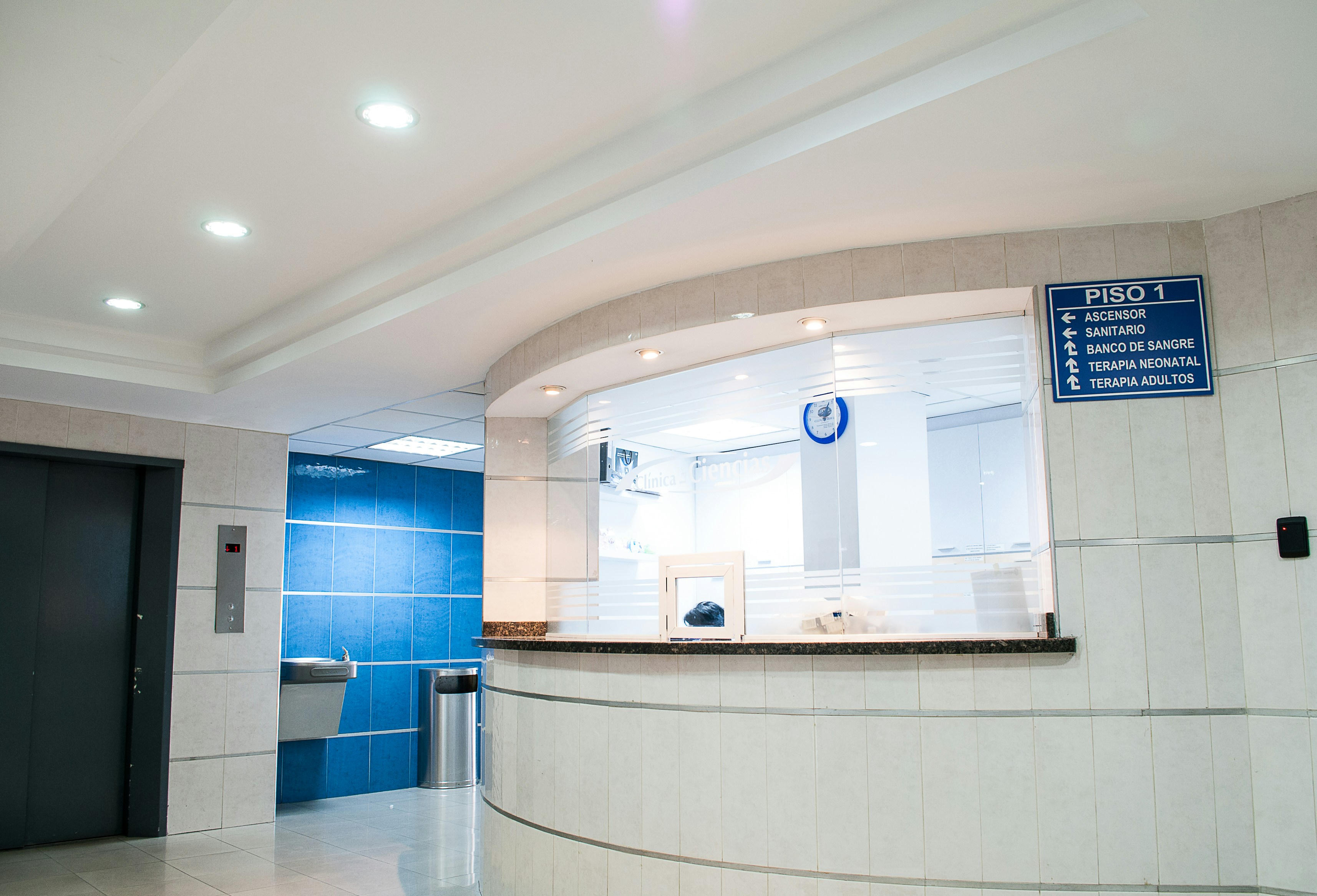
Healthcare facilities demand as-built documentation accuracy beyond standard construction tolerances. FARO scanners capture ward layouts, operating theatres, MEP systems and cleanroom envelopes with millimetre-level accuracy, supporting HTM/NABH-compliant asset management and regulatory compliance.

Bridges, flyovers, dams, rail corridors and port facilities don’t leave much room for error. These are live assets, often under load and the survey data needs to match that reality. Manual methods are too slow, too exposed and not precise enough for environments where you can’t shut things down and wait.
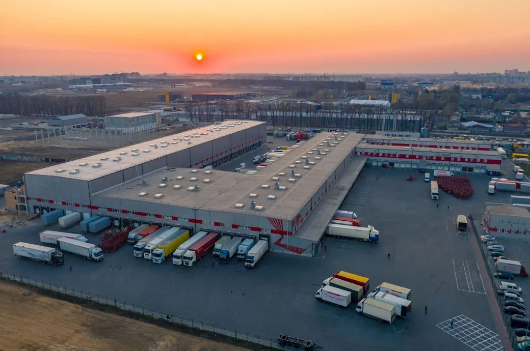
SLAM-enabled terrestrial scanners navigate confined spaces while capturing 2 million points per second. AI-segmented point clouds auto-generate piping, HVAC, and structural Revit models with sub-2mm deviation.

Water infrastructure, including treatment plants, effluent plants, distribution networks, pumping stations, reservoirs, and underground pipelines, underpins urban and industrial life. Ageing assets, expansion programmes, and regulatory demands all require documentation that stays current and accurate across every kilometre of network.

