

- Expert Modeling Services
Scan-to-BIM
Services
From point cloud to production-ready BIM models.
Our BIM specialists deliver LOD 100–400 models from laser scan data, ensuring design accuracy and coordination efficiency.

Level of Development
Approximate Geometry
Approximate sizes, shapes and locations for schematic design.
Precise Geometry
Use: Pre-design, Site surveys
Fabrication-Ready
Use: Fabrication, Construction
documents
LOD 500 – 700
As-Built & Operations
Verified as-built conditions with full asset data for operations, maintenance, and lifecycle management.
Our Services
Architectural BIM
Walls, floors, ceilings, doors, windows and structural elements modeled
to specified LOD.
- Revit model
- 2D drawings
- Schedules
MEP Modeling
HVAC ductwork, piping, electrical conduit and equipment from point
cloud data.
- Revit MEP model
- Clash reports
- Coordination views
Structural BIM
Steel, concrete and timber structural systems with connections and
details.
- Structural Revit model
- Analysis-ready export
- Shop drawings
As-Built Documentation
Complete as-built models from existing conditions for renovation and
retrofit projects.
- As-built Revit model
- Deviation reports
- 2D plan sets
Sectors at a Glance
Sectors We Serve

Airport digital twins consolidate airside, terminal and landside data into a live operational model. Crowd simulation, gate utilisation and infrastructure compliance checks run continuously against the as-built point cloud baseline.

FARO 3D scanning delivers millimetre-accurate as-built documentation of commercial towers, mixed-use developments, and retail complexes. AI-processed point clouds feed directly into CIM-ready BIM models for lease management, fit-out coordination, and asset handover.

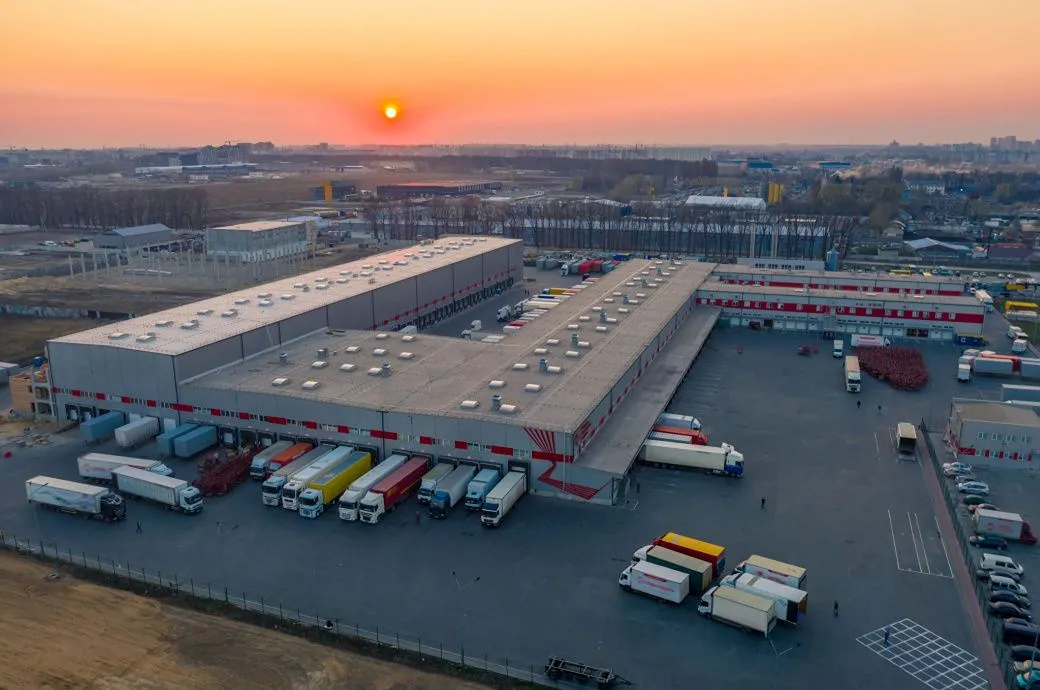
Industrial parks feature modular zoning, high-bay warehouses and heavy load infrastructure. Digital twin deployment enables real-time asset monitoring, predictive maintenance scheduling and 360° facility walkthroughs without site visits.
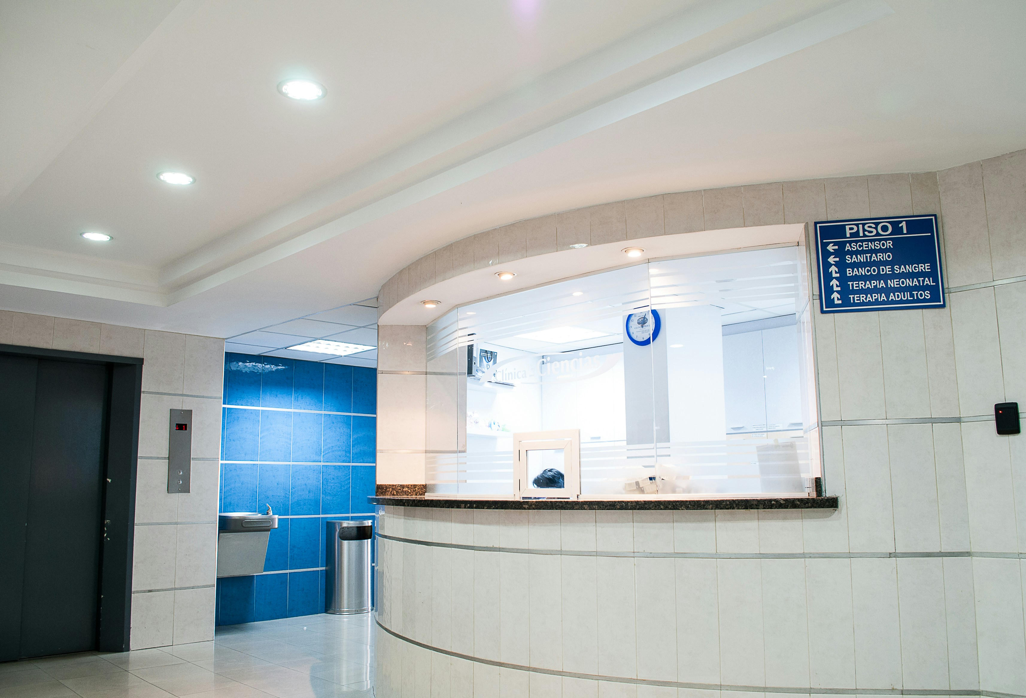
Healthcare facilities demand as-built documentation accuracy beyond standard construction tolerances. FARO scanners capture ward layouts, operating theatres, MEP systems and cleanroom envelopes with millimetre-level accuracy, supporting HTM/NABH-compliant asset management and regulatory compliance.

Bridges, flyovers, dams, rail corridors and port facilities don’t leave much room for error. These are live assets, often under load and the survey data needs to match that reality. Manual methods are too slow, too exposed and not precise enough for environments where you can’t shut things down and wait.
SLAM-enabled terrestrial scanners navigate confined spaces while capturing 2 million points per second. AI-segmented point clouds auto-generate piping, HVAC, and structural Revit models with sub-2mm deviation.

Water infrastructure, including treatment plants, effluent plants, distribution networks, pumping stations, reservoirs, and underground pipelines, underpins urban and industrial life. Ageing assets, expansion programmes, and regulatory demands all require documentation that stays current and accurate across every kilometre of network.

Why Buy From ScanPro
What warranty comes with a FARO scanner?
Lorem ipsum dolor sit amet, consectetur adipiscing elit. Ut elit tellus, luctus nec ullamcorper mattis, pulvinar dapibus leo.
