

VFX Media
OVERVIEW
Real-World Geometry. Pixel-Perfect Accuracy.
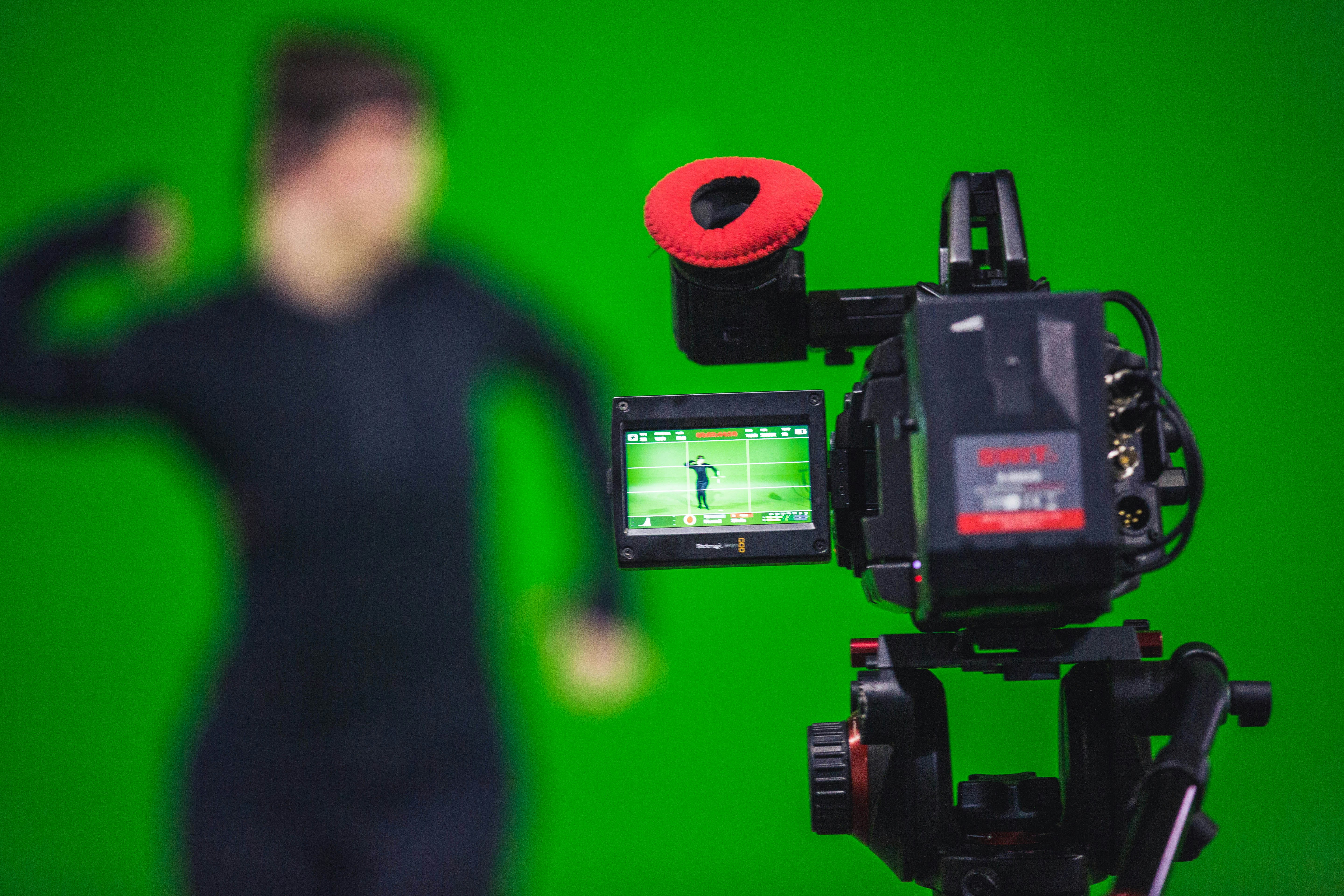
Visual effects, virtual production, and immersive media all depend on real-world geometry that is photographically accurate, spatially correct, and ready to drop into a pipeline. Hand-modelled environments cannot match the density, detail, or physical truthfulness of laser-scanned reality. On an LED volume or a virtual set, that difference shows up on screen.
VB Terrascan captures real-world locations as dense, georeferenced point clouds using FARO laser scanners. Industrial facilities, heritage structures, urban environments, and architectural interiors are all captured at 1mm accuracy and delivered ready to feed directly into Unreal Engine, Maya, Houdini, and Nuke pipelines. The geometry is real. The environments built from it are photorealistic.
OVERVIEW
How We Deliver VFX Excellence
Location Scanning & Point Cloud Capture
FARO laser scanners capture real-world locations as dense, georeferenced point clouds accurate to 1mm. Sets, facilities, urban environments, and heritage structures are all delivered pipeline-ready for any VFX workflow.
3D Environment & Digital Set Modeling
Point clouds are processed into clean, optimised 3D environments for Unreal Engine, Maya, Houdini, and Nuke. Outputs include photorealistic digital sets, matte painting bases, and virtual production assets.
As-Built Documentation & Pipeline Deliverables
Scan data is delivered in OBJ, FBX, E57, and RCP formats, compatible with industry-standard VFX, game engine, and virtual production pipelines. Full scene georeferencing is included as standard.
Virtual Production & LED Volume Support
Real-world scan data powers LED volume backgrounds, Unreal Engine virtual sets, and XR stage environments. Directors and DPs get a photorealistic, spatially accurate foundation to work from on day one.
TECHNOLOGY
Technology That Powers Precision
3D Laser Scanning
Point Cloud Processing
Digital Twin & Environment Modeling
Multi-Format Deliverables (OBJ, FBX, E57, RCP)
Unreal Engine & Virtual Production Integration
Sectors at a Glance
Sectors We Serve

Airport digital twins consolidate airside, terminal and landside data into a live operational model. Crowd simulation, gate utilisation and infrastructure compliance checks run continuously against the as-built point cloud baseline.

FARO 3D scanning delivers millimetre-accurate as-built documentation of commercial towers, mixed-use developments, and retail complexes. AI-processed point clouds feed directly into CIM-ready BIM models for lease management, fit-out coordination, and asset handover.
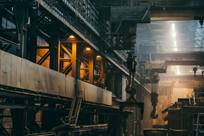
Industrial parks feature modular zoning, high-bay warehouses and heavy load infrastructure. Digital twin deployment enables real-time asset monitoring, predictive maintenance scheduling and 360° facility walkthroughs without site visits.
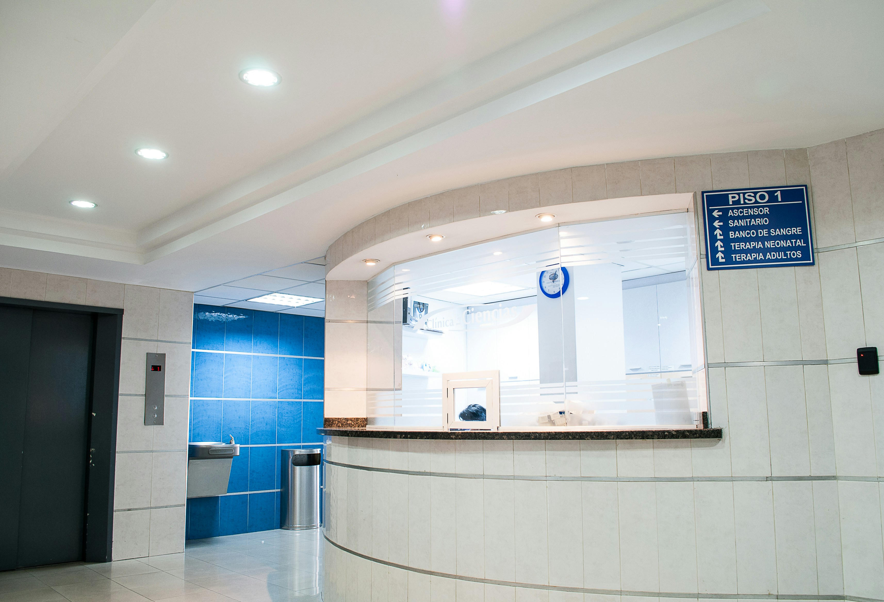
Healthcare facilities demand as-built documentation accuracy beyond standard construction tolerances. FARO scanners capture ward layouts, operating theatres, MEP systems and cleanroom envelopes with millimetre-level accuracy, supporting HTM/NABH-compliant asset management and regulatory compliance.

Bridges, flyovers, dams, rail corridors and port facilities don’t leave much room for error. These are live assets, often under load and the survey data needs to match that reality. Manual methods are too slow, too exposed and not precise enough for environments where you can’t shut things down and wait.
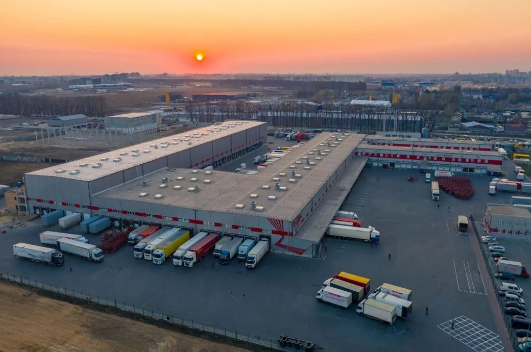
SLAM-enabled terrestrial scanners navigate confined spaces while capturing 2 million points per second. AI-segmented point clouds auto-generate piping, HVAC, and structural Revit models with sub-2mm deviation.

Water infrastructure, including treatment plants, effluent plants, distribution networks, pumping stations, reservoirs, and underground pipelines, underpins urban and industrial life. Ageing assets, expansion programmes, and regulatory demands all require documentation that stays current and accurate across every kilometre of network.

