

Commercial Space
OVERVIEW
Every Square Foot. Documented. Delivered.
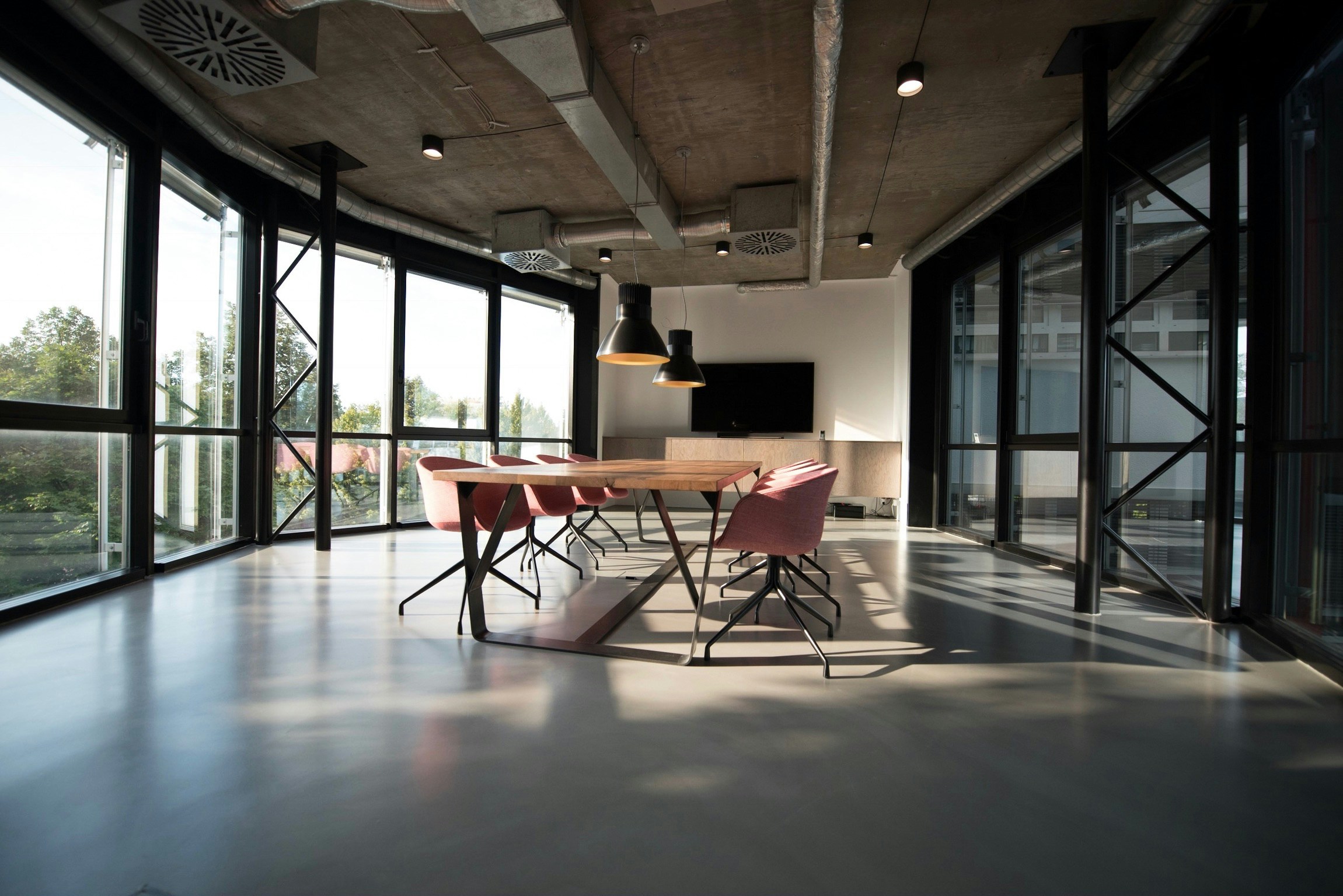
Commercial developments like office towers, mixed-use complexes, retail malls, and business parks represent significant capital investments. Getting the documentation right at every stage matters, whether that is shell and core handover, tenant fit-out, or long-term asset management.
VB Terrascan uses FARO laser scanning technology to capture commercial buildings floor by floor. Slabs, column grids, facades, MEP shafts, and curtain wall systems are all recorded at millimetre-level accuracy. The resulting point clouds are AI-processed and fed directly into CIM-ready BIM models that support lease management, fit-out coordination, and authority submissions.
OVERVIEW
How We Deliver Commercial Space Developers Excellence
Precision Site Surveying & 3D Laser Scanning
We capture commercial buildings floor by floor, covering slabs, column grids, MEP shafts, and facades at millimetre-level accuracy. Multi-storey towers are completed in a single phased mobilisation, keeping the process efficient and coordinated.
As-Built Documentation & CAD Deliverables
Every level is documented with high-detail as-built floor plans, section drawings, and facade surveys. The outputs are ready for handover, regulatory approval, and long-term facilities management without additional rework.
BIM & CIM Modeling
Point clouds are converted into CIM-aligned BIM models that cover structural, MEP, and architectural systems in full. These models are built to support lease management, authority submissions, and tenant coordination from day one.
Digital Twin & Asset Lifecycle Management
AI-powered digital twins track space utilisation, system health, and asset conditions across an entire commercial portfolio. Operations and planning teams get a live picture of how their assets are performing, which makes proactive maintenance and capital planning considerably more straightforward.
TECHNOLOGY
Technology That Powers Precision
3D Laser Scanning
BIM & CIM Integration
Digital Twin Solutions
CAD & Engineering Documentation
ERP & Data Integration Support


Sectors at a Glance
Sectors We Serve

Airport digital twins consolidate airside, terminal and landside data into a live operational model. Crowd simulation, gate utilisation and infrastructure compliance checks run continuously against the as-built point cloud baseline.

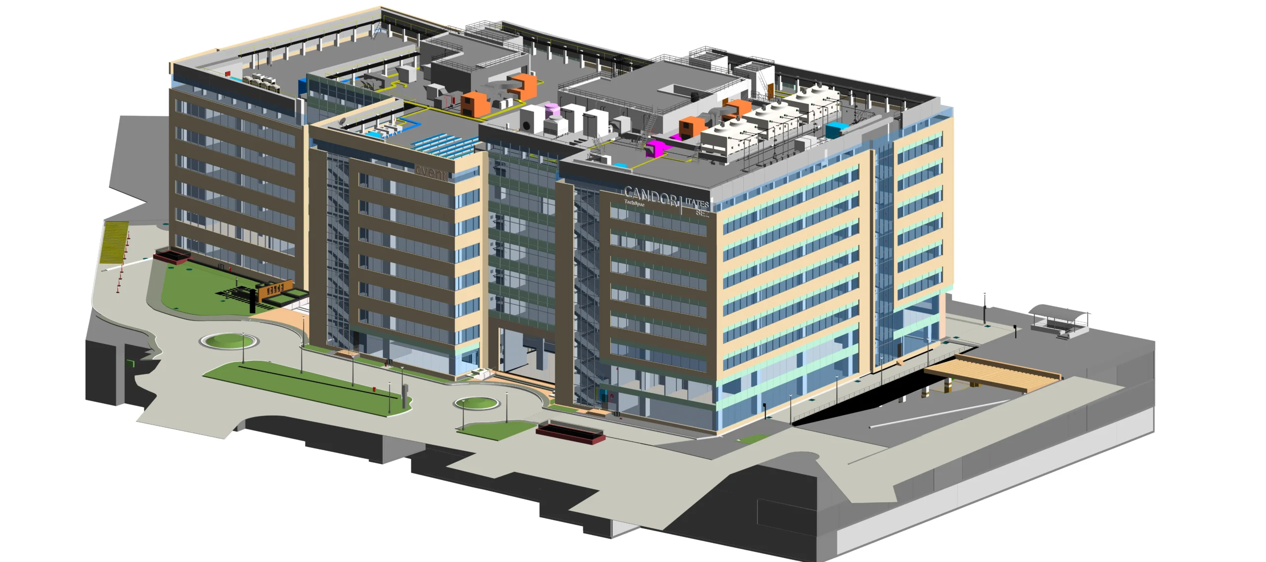
FARO 3D scanning delivers millimetre-accurate as-built documentation of commercial towers, mixed-use developments, and retail complexes. AI-processed point clouds feed directly into CIM-ready BIM models for lease management, fit-out coordination, and asset handover.

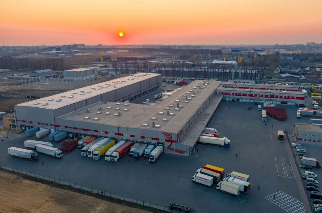
Industrial parks feature modular zoning, high-bay warehouses and heavy load infrastructure. Digital twin deployment enables real-time asset monitoring, predictive maintenance scheduling and 360° facility walkthroughs without site visits.
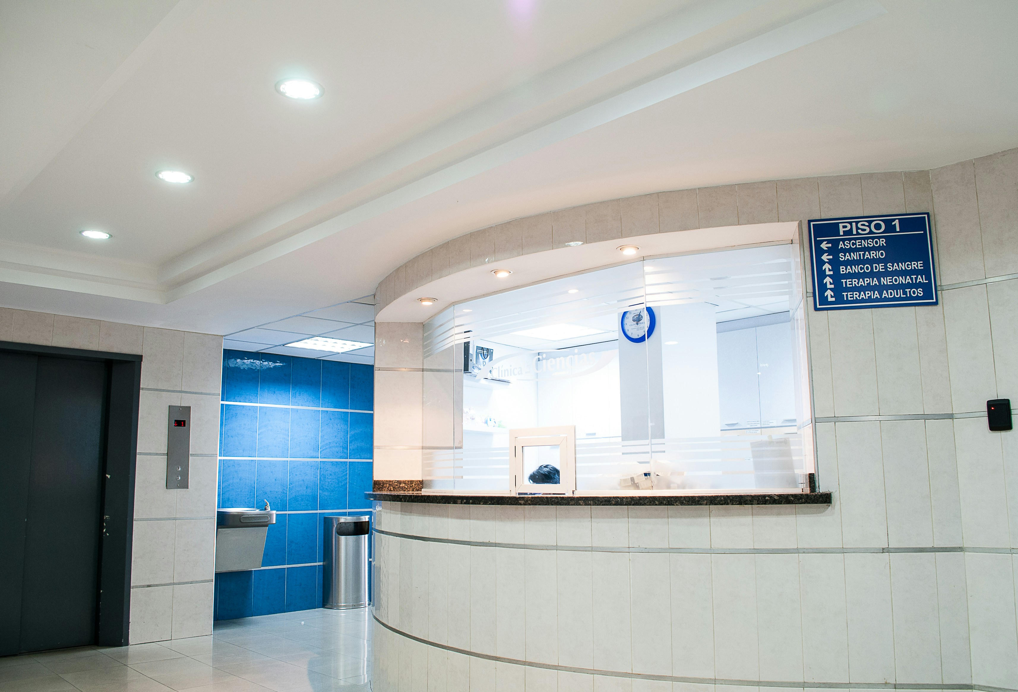
Healthcare facilities demand as-built documentation accuracy beyond standard construction tolerances. FARO scanners capture ward layouts, operating theatres, MEP systems and cleanroom envelopes with millimetre-level accuracy, supporting HTM/NABH-compliant asset management and regulatory compliance.

Bridges, flyovers, dams, rail corridors and port facilities don’t leave much room for error. These are live assets, often under load and the survey data needs to match that reality. Manual methods are too slow, too exposed and not precise enough for environments where you can’t shut things down and wait.
SLAM-enabled terrestrial scanners navigate confined spaces while capturing 2 million points per second. AI-segmented point clouds auto-generate piping, HVAC, and structural Revit models with sub-2mm deviation.

Water infrastructure, including treatment plants, effluent plants, distribution networks, pumping stations, reservoirs, and underground pipelines, underpins urban and industrial life. Ageing assets, expansion programmes, and regulatory demands all require documentation that stays current and accurate across every kilometre of network.

