

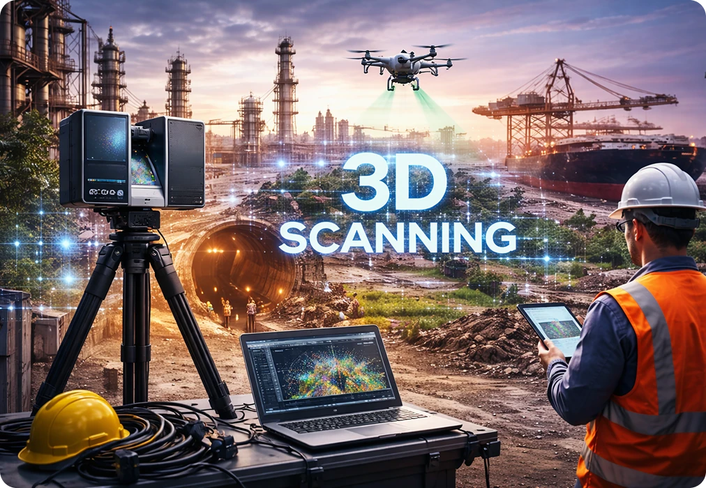
3D laser scanning—often called LiDAR or reality capture—creates an accurate digital record of real‑world spaces in the form of a point cloud. That point cloud can be converted into drawings, BIM models, and digital twins. As projects become faster and more complex, laser scanning is shifting from a specialist service to an essential part of modern delivery and operations.
What is 3D laser scanning (LiDAR)?
3D laser scanning captures the shape and dimensions of physical environments using laser beams, generating a point cloud with millions of points.
From the point cloud, teams can produce CAD drawings, create BIM models, or build a digital twin for long‑term operations.
Why organizations adopt reality capture
- High accuracy for complex geometry and MEP-heavy environments
- Speed: large areas captured quickly with repeatable results
- Better coordination: a shared 3D reference for all stakeholders
- Reduced rework: fewer surprises during installation and upgrades
Top 7 industry use cases
1) Construction & real estate (as‑built + coordination)
- As‑built documentation
- Renovation planning
- Clash prevention for MEP coordination
- Progress capture and evidence packs
2) Infrastructure (bridges, metro, highways, airports)
- Geometry capture for upgrades and expansions
- Clearance and interface verification
- Documentation for authority submissions
- Asset handover models
3) Industrial plants (brownfield modifications)
- Piping/equipment mapping
- Shutdown planning
- Tie‑in point verification
- Safety planning and access mapping
4) Utilities (water & power)
- Treatment plants, substations and switchyards documentation
- Network support for GIS integration
- Asset tagging and lifecycle planning
5) Heritage & restoration
- High-detail capture of heritage structures
- Damage mapping and restoration planning
- Archival documentation for stakeholders
6) Mining, quarries & terrain modelling
- Stockpile volume calculations
- Terrain mapping
- Operational planning and progress tracking
7) Media, VFX & virtual production
- Film set digitization
- Game environment creation
- Virtual production workflows with high realism
LiDAR vs traditional methods (quick comparison)
Traditional methods still work for simple spaces, but LiDAR becomes essential when accuracy, complexity and speed matter.
- Data capture: LiDAR captures millions of points vs limited manual measurements
- Accuracy: mm-level potential vs moderate (depends on method)
- Speed: rapid capture vs slow measurement cycles
- Rework risk: lower when teams coordinate on a verified 3D baseline
How to choose the right scanning approach (static vs mobile)
Static scanning (tripod-based)
Best for highest accuracy requirements and complex interiors (plants, MEP-heavy buildings, as‑built handovers).
Mobile / SLAM scanning
Best for rapid coverage and large areas where speed is critical (corridors, warehouses, preliminary surveys).
Hybrid approach
Many projects use both: mobile for speed and static for control points and critical zones.
How to get started
- Define the outcome: drawings, BIM model, digital twin, or construction monitoring.
- Confirm accuracy and deliverables: tolerance, formats, LOD, and exclusions.
- Plan access and safety: operational constraints, shutdown windows, permits.
- Capture and validate: scanning + QA checks for coverage and alignment.
- Process into outputs: CAD/BIM/twin with documented handover and exports.
Frequently Asked Questions
What deliverables can I get from a 3D laser scan?
Common outputs include point clouds, CAD drawings, BIM models (Revit/IFC), quantities, and digital twin-ready datasets (assets + documents).
Is laser scanning useful for brownfield sites?
Yes. Brownfield assets often differ from drawings. Scanning creates an accurate baseline for upgrades, safety planning, and maintenance.
How accurate is LiDAR scanning?
Accuracy depends on the scanner type, site conditions and workflow. Define a modelling tolerance and QA method as part of the project scope.
Can laser scanning support construction progress tracking?
Yes. Repeat scans can be compared against the design model to detect deviations, track progress, and create evidence packs.
How long does scanning take?
It depends on size and complexity. Many sites can be captured in hours to a few days, followed by processing and modelling time depending on deliverables.
